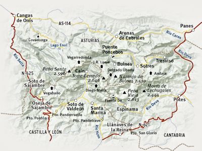
The mountains in the north of Spain are not particularly high, but appeared very attractive,
forming a compact area with plenty of campsites and walking.
There was no need to join a guided tour, as the walking is mostly on well-defined routes.
Having learnt some Spanish, and borrowed a very good guide book from the library, we reckoned we could find our own way.
We took the motorway to get away from the city asap, westwards along the coast
to the Picos de Europa turn-off (only about 60k).
The exit numbers seemed strangely random at first,
until we realised they were the distance from the start of the motorway. |
We turned south towards the mountains, where the road system was simple - one road all the way around,
with cul-de-sacs leading up to the mountain villages.
Our guide book decribed a clockwise direction, and it was easier to follow that way. |
 |
Continuing south towards Potes (the main tourist town on the south-eastern side),
the road was narrow and steep. It followed the Rio Deva, winding through the dramatic gorge of the 'Desfiladero de la Hermida'.
As an introduction to the potential driving hazards, we wondered what worse was to come, if this was a main road. |
|
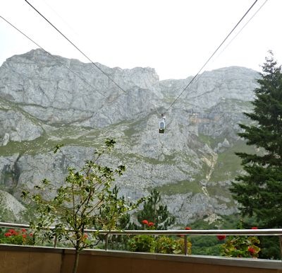 |
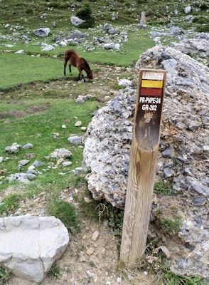
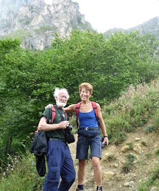
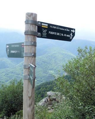
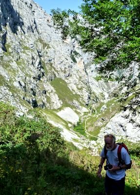
We got up early to beat the queues we had been told to expect at the Fuente De cable car.
Disappointingly, the clouds had come down overnight, and the mountain tops had disappeared.
We drove up to the bottom station anyway, and no queues - the weather had obviously put people off.
But looking at the webcam of the top, it seemed the visibility was improving, so we bought our tickets (10€ each),
and went up in the scarily small cabin with a dozen other intrepid hikers.
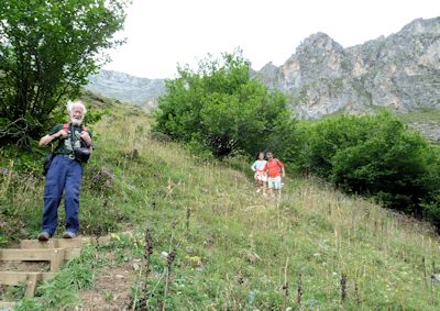
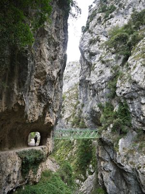
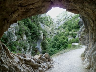
The walk started on a wide track, with tantalising glimpses of the mountains through the clouds. |
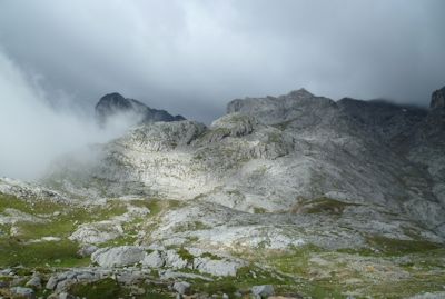 |
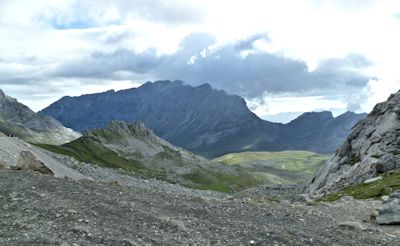
As the clouds started to lift, more and more peaks appeared. |
We walked on past the Chalet Real |
 |
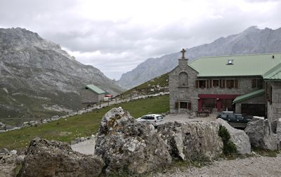
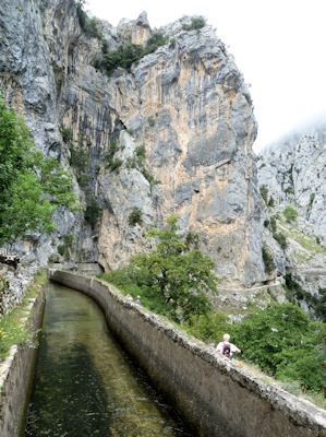
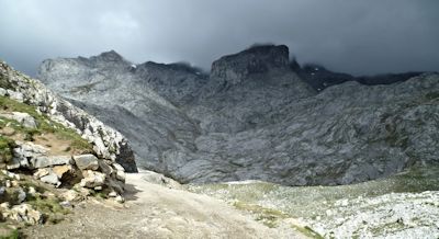
Then down to the Refugio de Aliva,
where we stopped for a welcome coffee break.
|
| We drove back down early into Potes for shopping - no problem parking today.
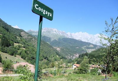
Then up the Deva valley again to Cosgaya, for another (shorter, much easier) walk from our guidebook.
After breakfast at the start of the walk, we took a shady path up one side of the Rio Bejo,
then across and back down the gravel path on the other side. |
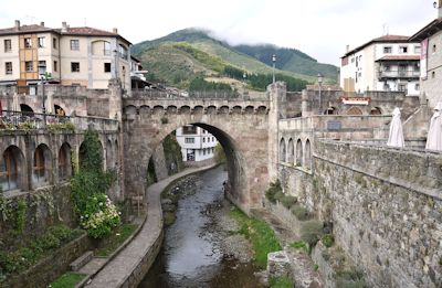
Rio Deva at Potes, with the old bridge. |
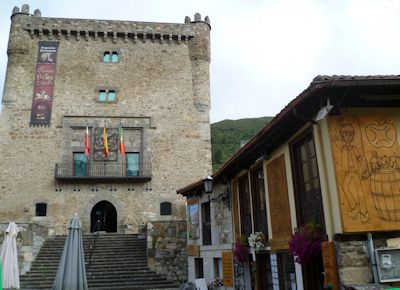
Potes tower. |
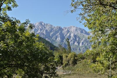
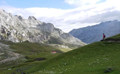
Panoramic mountain views:
looking north towards the Picos. |
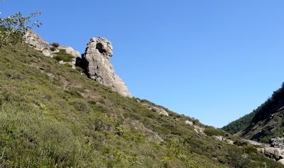
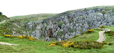
Rock formations towering over the river
'the sphinx'. |
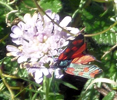
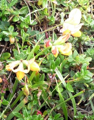
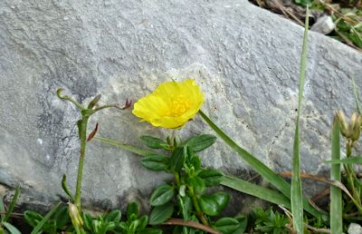
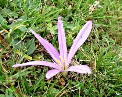
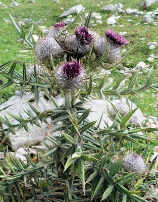
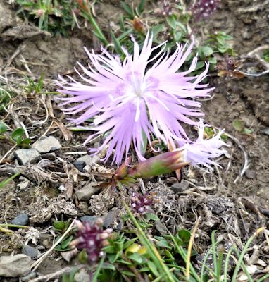
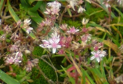
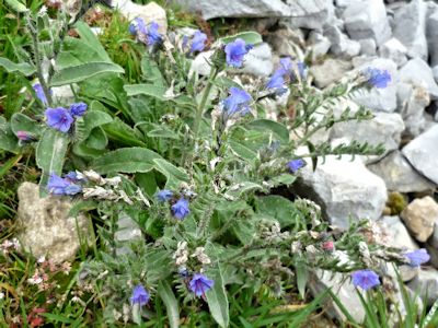
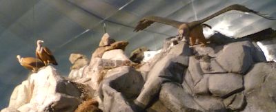
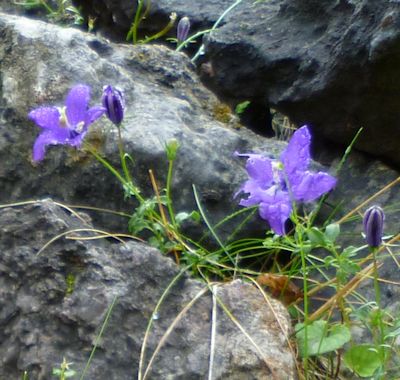
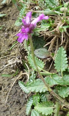
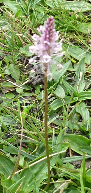
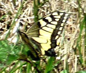
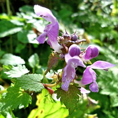
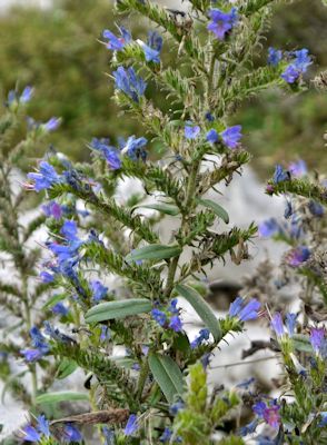
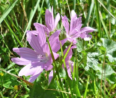
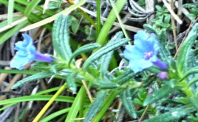
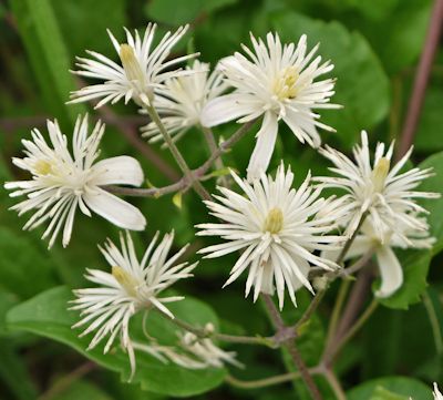
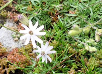
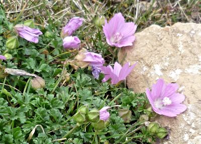
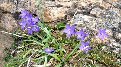
Not much wild life.
The butterflies rarely stayed still. |
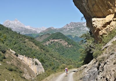
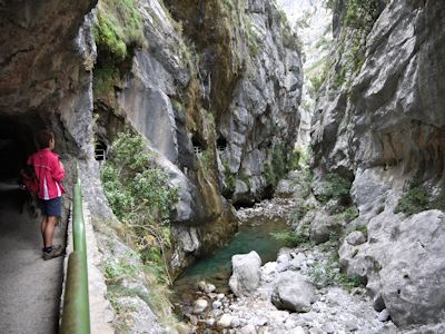
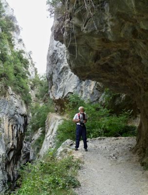
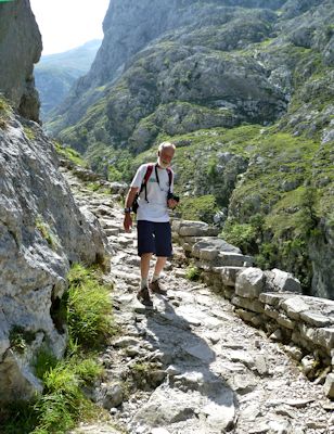
Walking down under the high rock walls. |
| Nowhere shady for lunch, so we jumped in the van to drive straight on to our next campsite. |
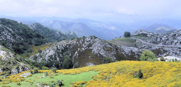
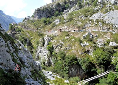
Down to Potes yet again, then continuing south and west, the 'main road' became even steeper,
winding upwards (mostly in 2nd gear), to the pass at Puerto de San Gloria (1600m).
We stopped briefly at the Mirador del Corzo
to view yet another panorama of mountains. |
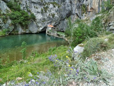
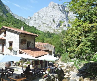
At Portilla de la Reina we turned north towards the central mountain area, on an even narrower road, to the Valdeon valley.
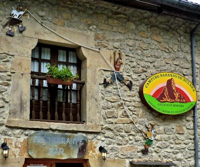
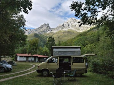
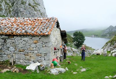
'El Cares' campsite was marked at Santa Marina, but it was yet another 1k up a side-track. A lovely quiet walking-orientated site.
We dined at the campsite bar, and then the owner came out with his maps
and explained the walking options around the area - in both Spanish and English!
El Cares camp site |
Sunset over the mountains |
|
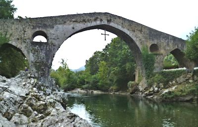
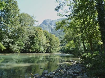
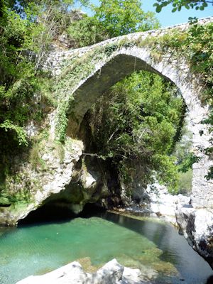
Cangis bridge over Rio Sella |
A long drive from Santa Marina, continuing across the mountains to the western side
of the Picos area. Turning north, we went up another gorge, the Desfiladero de los Reyos, to Cangis de Onis, on the
north-western corner.
A larger touristy town, useful for shopping and cash top-up at the bank.
 |
It's on the route of the Compostela de Santiago, which passes between the mountains and the coast. |
|
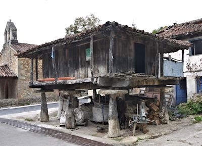
Many old granary stores around, on stilts to deter rodents. |
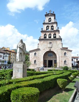
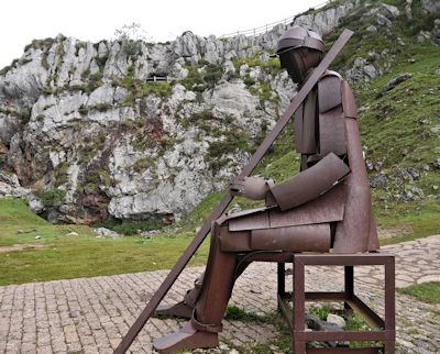
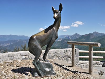
Statue of 1st king of Spain - reputedly |
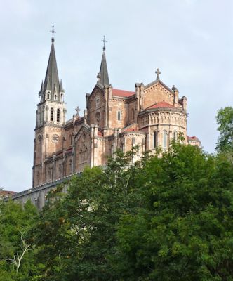
Now we headed east, our target being the Covadonga campsite, as the base for our next walk.
But it was not actually up the road to Covadonga.
We had to return to the main road, and it was only a few hundred metres further on -
just a small 'transit'-type of roadside site, but adequate for a night.
We walked back a short way to a 'posh' restaurant to treat ourselves to some Asturian-style food for dinner.
Amazed to be kept awake by wolves howling in the night - a nearby zoo! |
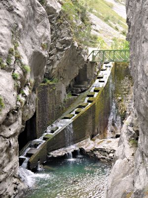
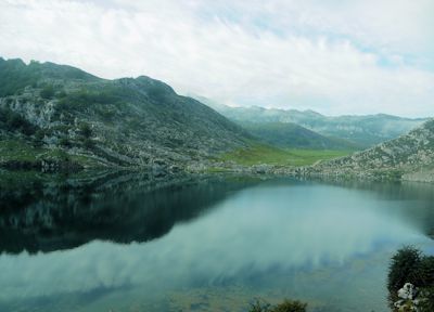
We left the paved paths, following the route described in our guidebook:
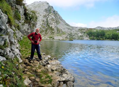
along the side of Lago de Ercina, across the limestone pavements and round to Lago Enol.
To avoid the road, it recommended going to the east of Lago Enol -
OK except where the path disappeared, and we had to jump across the rocks at the waters edge!
 |
An isolated cottage, it's owner seemed pleased to see us.
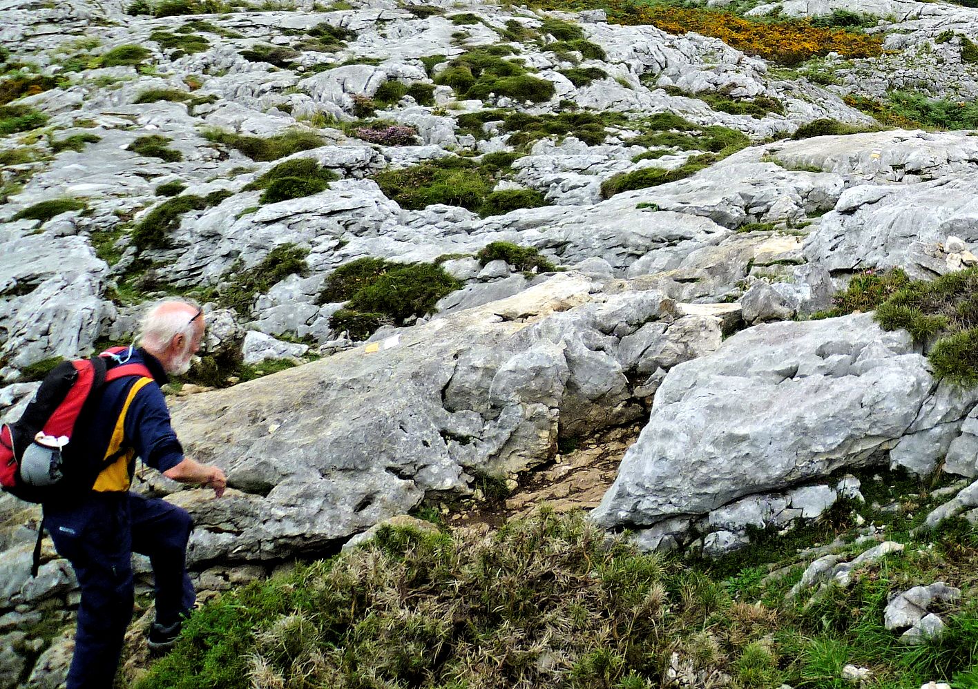
Following the white-and-yellow waymarks
on the vague track across the 'pavement'. |
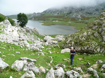
End of Lago de Ercina - no route markings,
but we assumed it came this way
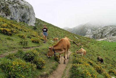
Give way to the locals. |
Returning to the main road, we turned westwards through Cangis again,
and on out of the Picos area, to find Incos village, for the start of the race I planned to do on Monday.
It was too small to be on our map, but stopping at Torazo - another small village but at least it had a bar -
we asked directions (in Spanish!). It was only a short way further on,
and a field with a very large marquee appeared to be our destination.
We drove on via Villaviciosa to look for the nearest campsite.
The only options were big crowded places on the coast, but 'Costa Verde',
at Playa de la Griega, had some more secluded pitches at the back.
The main drawback here was the strong onshore wind, funnelling through in the afternoons.
A cafe on the beach provided gourmet hamburgers for our dinner. |
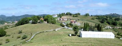
Incos village plus marquee. |
| We drove back up to Puente Poncebos, to have another look for the elusive highest peak. |
 |
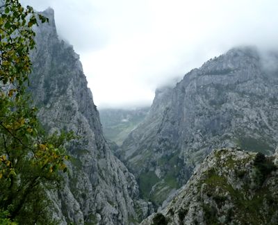 |
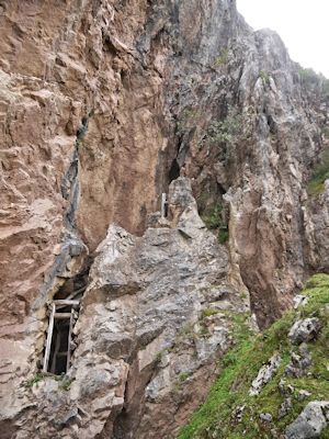
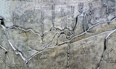
Even though I climbed up to the Mirador above Poncebos, it was still too cloudy.
The panorama shown on the plaque at the mirador should be visible through the gap between the mountains. |
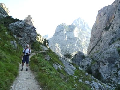
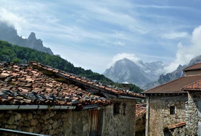
We drove on further up into the mountains, to Sotres (on yet another steep narrow road).
The cloud lifted a little, but still not sure which mountains we were looking at.
There were several walking routes from here, but not enough time to explore them.
We wanted to spend time in the coastal area on the way back to Santander,
and needed to find our next campsite. |
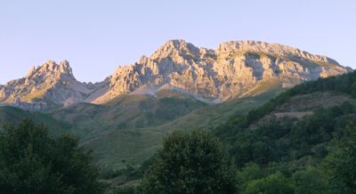
Mountain view from Sotres. |
Back to Arenas, then eastwards to Panes, completing our cicuit of the Picos.
Heading north to the coast, we looked at San Vicente; nice but too many tourists and the camp site was crowded.
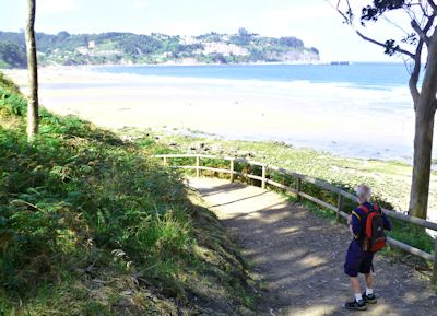
A few miles further on, we came to Playa de Oyambre, with a very small campsite 5 minutes walk from the beach.
We booked in and I went for a swim in the sea (more sheltered from the waves here).
There was no village, but a beach restaurant where we had dinner.
I tried a local fish 'jorge' (very pricy). |
We drove along the coast to Comillas. A small, pleasant town, with spacious squares.
Using a map from the tourist office, we walked round a marked circuit of 'places of interest' |
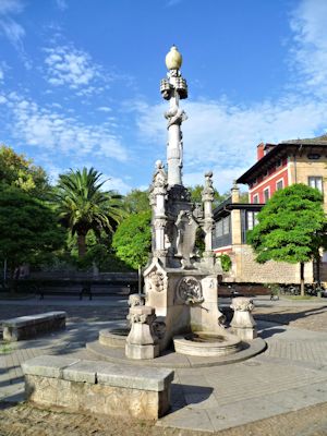
We started in the main plaza. The design of the 'Fuente Farola' ('lamp-post fountain')
symbolises the claim that Comillas was the first town in Spain with electric lighting. |
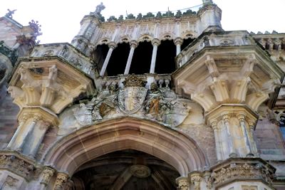
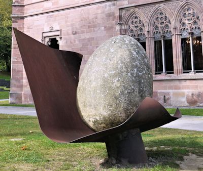
A short walk to the Sobrellano Palace, with its ornate stonework and modern art in the grounds. |
Looking from the palace to the university |
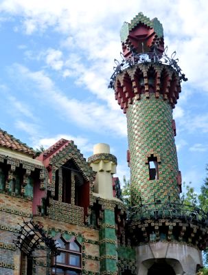
Just around the corner, a typically over-elaborate house design by Gaudi. |
Marques de Comillas |
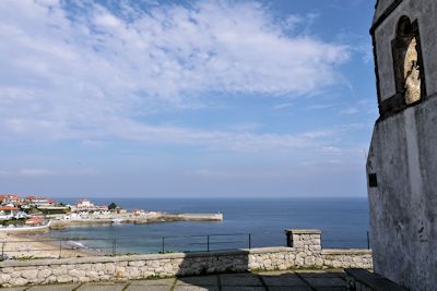
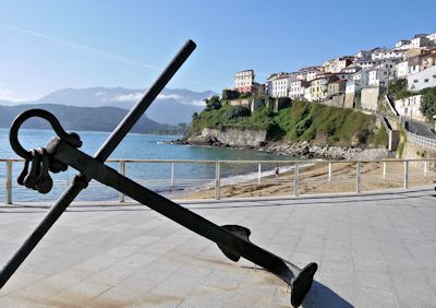
Comillas harbour |
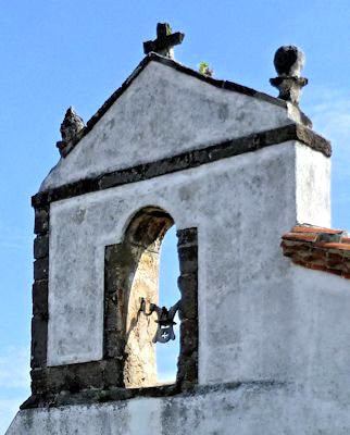
Santa Lucia chapel |
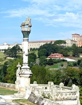
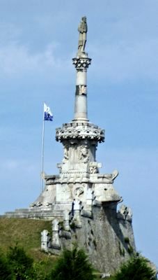
| Crossing to the seaward side of town, the clifftop on the western side is dominated by the statue of Marques de Comillas,
looking out to sea. On the opposite side of the harbour is the seamen's chapel of Santa Lucia. |
We drove on towards Santillana del Mar, but took a diversion inland through small villages, looking for a cafe or bar.
The roads became narrower and narrower, with few signposts, and we ended up thoroughly disorientated, at a farm entrance.
The owner came out to help us (in Spanish), and as we couldn't follow his complicated directions,
his wife kindly got out their car for us to follow back to the main road!
Santillana del Mar is actually several miles from the sea, and we found its campsite just off the road before we reached the town.
The restaurant there provided an excellent value 3-course 'menu touristico' for 9€ each. |
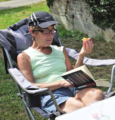
Relaxing at the campsite at Santillana, after swimming 40 lengths of their 25m pool. |
Our ferry didn't leave from Santander until late evening, so we had all day for sightseeing.
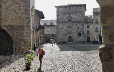
We drove to Santillana, but the central cobbled old-town is closed to traffic, and we had to pay 2€ at the carpark. |
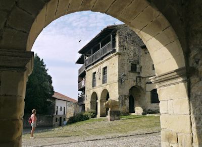
We arrived early, and had the picturesque stone buildings and arches around the cobbled streets almost to ourselves.
 |
Santillana town hall. |
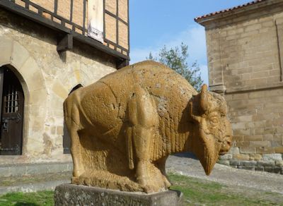
Not sure of the symbolism of this stone bull outside the town hall, but he doesn't look very happy. |
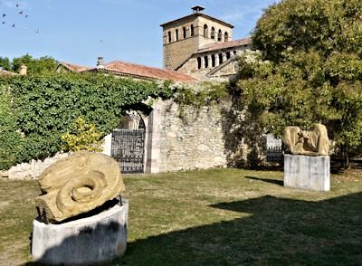
More stone sculptures in a small park |
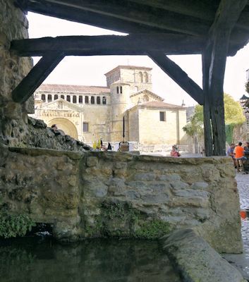
The open-air washing pool |
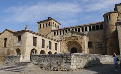
The imposing facade of Santa Juliana college and cloisters.
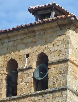
The ringing of the bells in the tower was deafening (and not very tuneful)
|
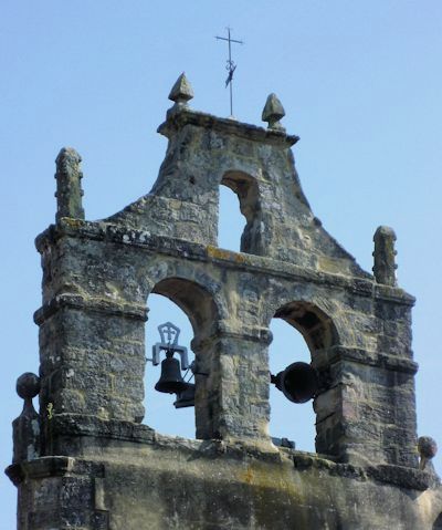
and other bells joined in enthusiastically. |

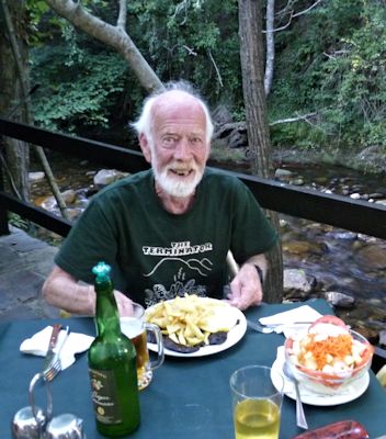
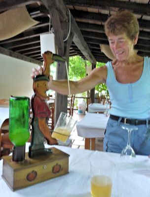
Picnic by the river
with some very nice Rioja |
We wandered around the town for a couple of hours, then continued towards Santander.
We had plenty of time, so took the minor road to Suances on the coast (very busy resort), then back onto the main road (avoiding the motorway).
Finding some picnic tables by the Rio Pas at Oruńa, we stopped for lunch (and watched the runners and organisers clearing up
after their local half-marathon race which started here; they must have started early to avoid the heat).
Heading on to Santander, we found ourselves directly outside the Carrefour hypermarket, so easily completed our shopping.
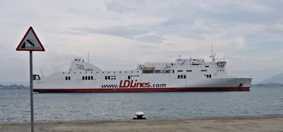
We were almost at the ferryport, and didn't fancy walking around the city on a Sunday, so we spent the rest of the day lazing on the quayside.
The ferry left at 10:30pm, and though there weren't any cabins available when we booked,
we managed to get an upgrade, which made the 26-hour return crossing to Poole more tolerable.
We finally arrived home after midnight, early on Tuesday morning.
|